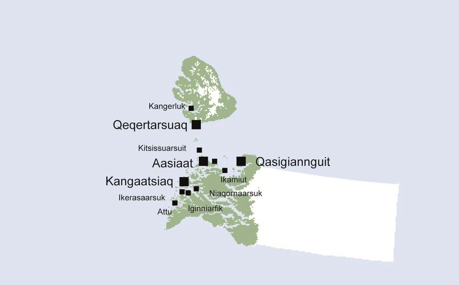
Kommune Qeqertalik is located north of the polar circle and covers an area of approx. 57,500 square kilometres in the north-western part of Greenland. The municipality is one of the country's smallest and has a coastline of approx. 7,850 km, where the towns and settlements of the municipality are situated.
Even though most of the municipality is covered by inland ice, the climate as well as the fauna and flora are greatly varied from the north to the south, just as there is great variation in the duration of the polar night and the period of the midnight sun. Due to the Arctic climate, most years, the sea is frozen over from December until April/May. Thus, navigation in large parts of the municipality is not possible in these months, and transportation of passengers and goods takes place by air. Apart from the natural differences, there is also great variation in culture and dialect from Siorapaluk in the north to Attu in the south.
The points of departure for the main structure are the planning strategy and the municipal council's visions for the municipal development. The main structure contains a description of the overall characteristic features and structures in Kommune Qeqertalik, including town and settlement pattern, occupational structure and infrastructure, main functionalities in education and service etc. The main structure provides a picture of the current situation and the plans for the future.
The physical structures are planned to match tendencies in population, pattern of settlement and the labour market to ensure the best possible conditions for a desirable and sustainable development, also with respect to the climate changes.


